Old Skool’s accessible location makes it perfect for exploring the endless network of walking and hiking trails that Snowdonia has to offer. Whether you’re looking for a gentle or challenging hike along the coast, through mountains, forest, open countryside with lakes, rivers or waterfalls, there is something for everyone! Below are outlined just a few of the endless possibilities for gorgeous walks or hikes in the area.
More info and ideas for walks can be found at: https://snowdonia.gov.wales/visit/walks/
Coed y Brenin (5min drive)
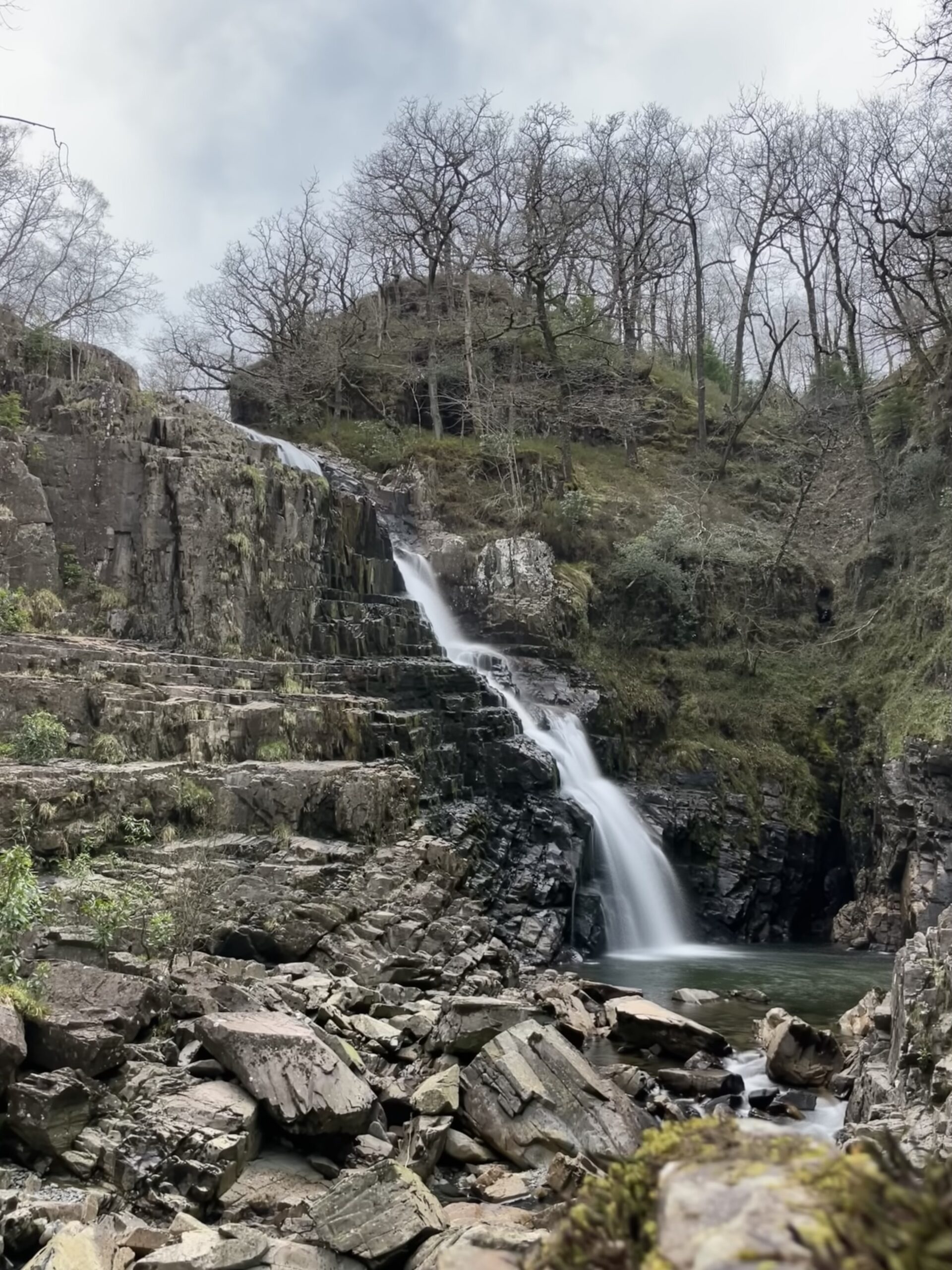
The way marked trails in the forest offer a range of walks from gentle family friendly strolls to a half marathon. Stick to the river paths to avoid the hills or head up for some breathtaking views of the surrounding scenery. Walking through ancient woodland, along rivers and past waterfalls, there is so much to take in. Look out for all the plant life and wildlife living amongst the trees.
The Mawddach Trail (15min drive)
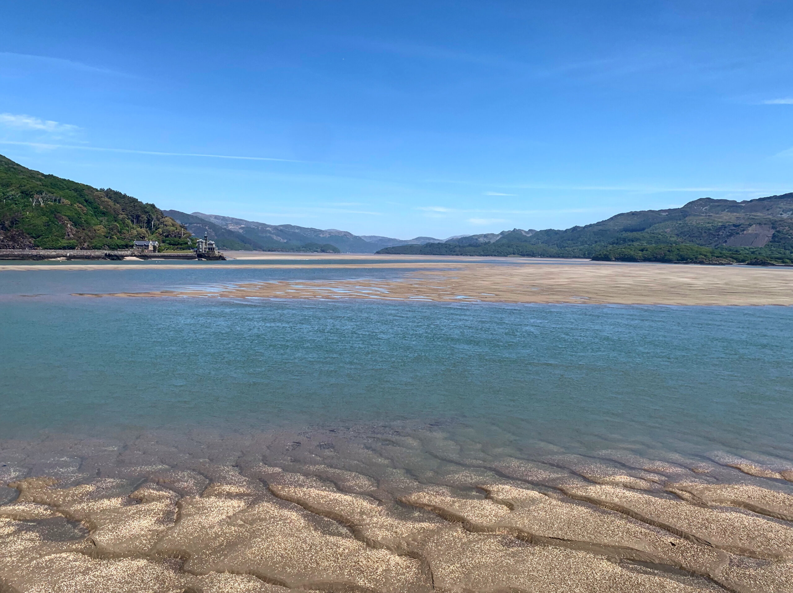
Looking up the Mawddach Estuary from Pont Abermaw
Running from Dolgellau to Fairbourne, the Mawddach Trail is a nearly 10 mile flat stretch of multi use path suitable for walkers, cyclists, buggies and wheelchairs. The trail follows the southern edge of the spectacular Mawddach estuary, following the old disused railway. With stunning views of the surrounding mountains, the ebb and flow of the estuary and a vast array of wildlife, there is plenty to enjoy during your walk. There are also multiple options to make your walk circular and add some elevation by heading up into the foothills of Cadair Idris. At Fairbourne, there is the option to head across the bridge and into Barmouth – make sure you have some change for the honesty toll (and an ice cream!)
find out more at: http://www.mawddachtrail.co.uk/mawddach-trail.html
Cadair Idris (25min drive to Pony Path)

Set in southern Snowdonia, Cadair Idris offers a less crowded mountain walking experience than Snowdon and is no less spectacular. The walk up and down Pony Path is easy to follow with mostly straightforward terrain to suit all abilities. From the summit, at 893metres, you will be treated to views across the Mawddach Estuary to Barmouth, out to the coast and inland to the lake at Bala.
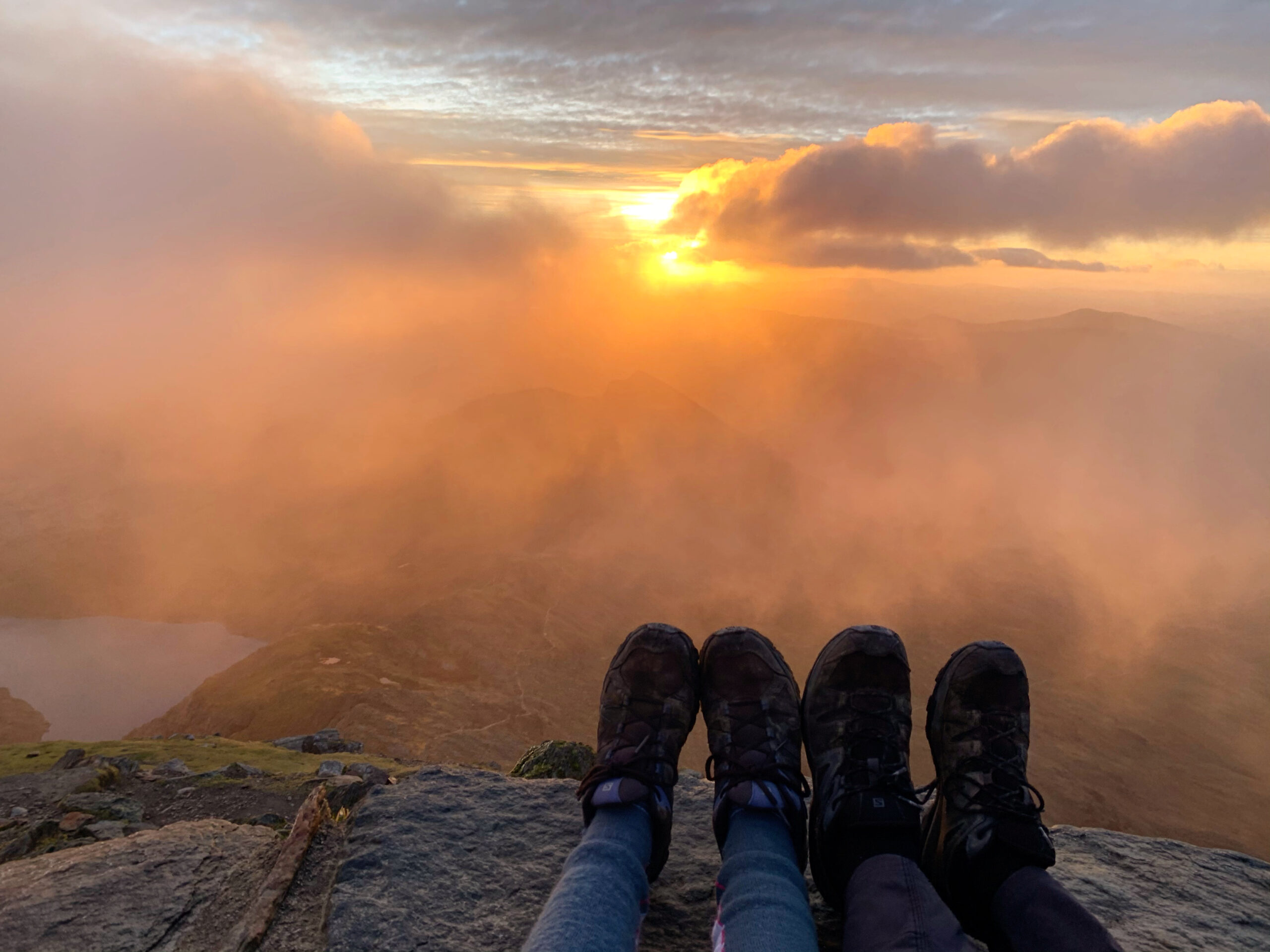
Snowdon (45min drive to Ranger Path)
Sunrise on Snowdon
Reaching the summit of Snowdon features high on the list of must dos for people visiting the area. At 1085 metres, Snowdon is the highest peak in Wales which, along with its other facilities, make it a very popular choice. There are several options for routes ranging from the straightforward and relatively sedate Llanberis path to the rugged and challenging Crib Goch – not for the faint hearted. For a less experienced hiker, we would recommend following the Ranger Path to the summit, avoiding the crowds, with a nice variety of terrain that is never too severe and stunning scenery every step of the way.
Find out more at: https://www.visitsnowdonia.info/snowdon-walking-routes
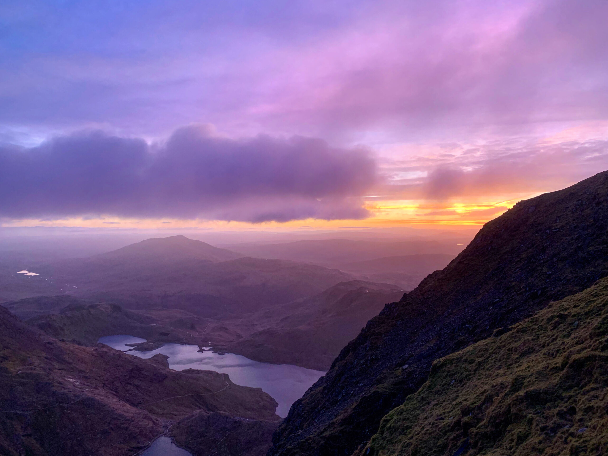
Tryfan (45min drive to Ogwen Cottage)
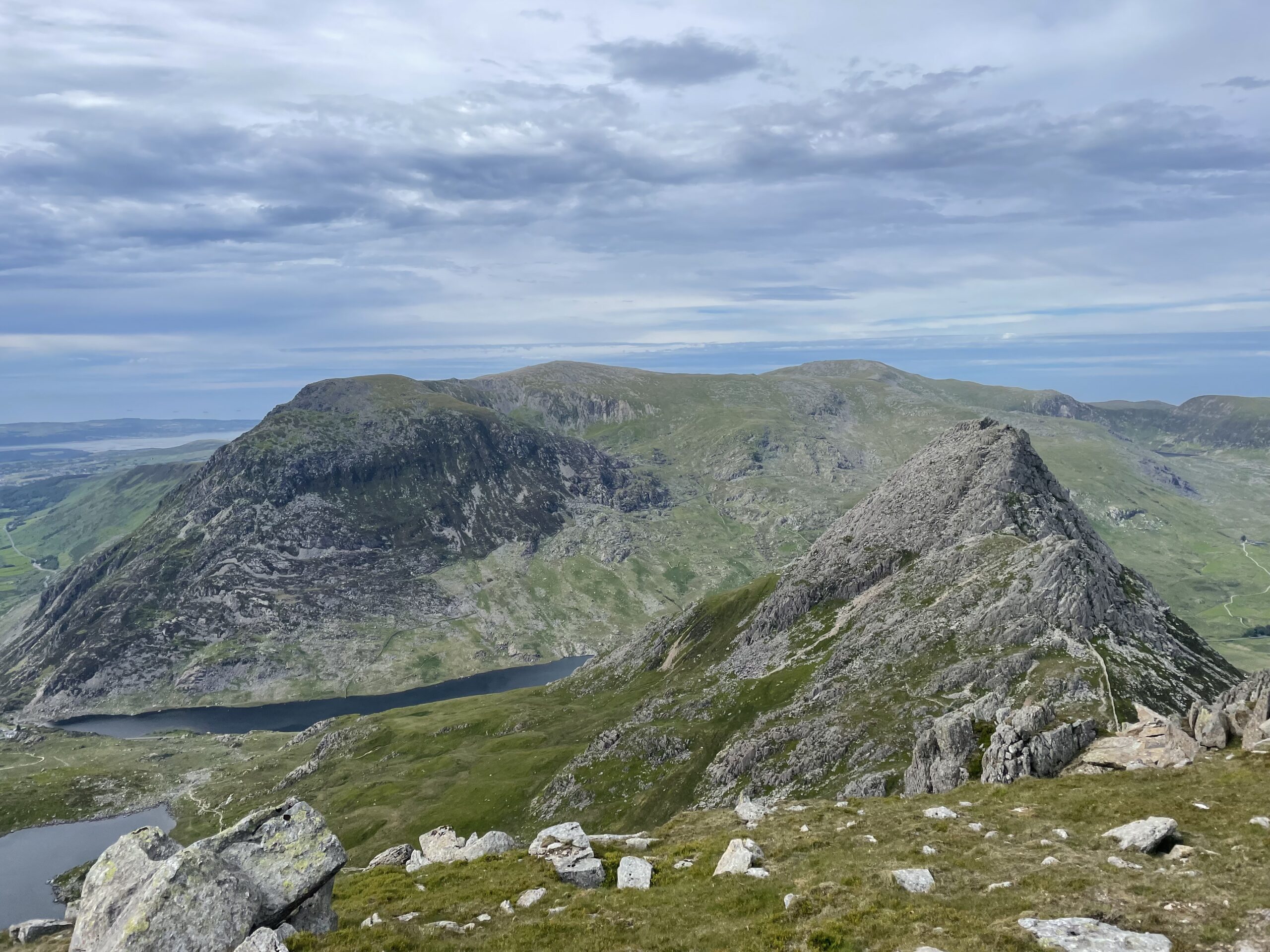
Looking across to Tryfan from Glyder Fach
If you’re looking for something a little more challenging, Tryfan is a fabulous option. There are a few route options, but whichever you choose you’ll need to do some scrambling to reach the
summit. Due to the lack of clear paths, navigating can be difficult (especially in bad weather) and this combined with the trickier terrain mean it’s recommended for experienced hill walkers looking for a challenge. The easiest route option is from Bwlch Tryfan, with the north ridge offering more challenging and exposed scrambling routes. There are lots of options for extending your walk to take in other peaks in the area, particularly Glyder Fawr, Glyder Fach and Y Garn.
Find out more at: https://walk-snowdonia.co.uk/rtryfan.php
Beddgelert (30min drive)
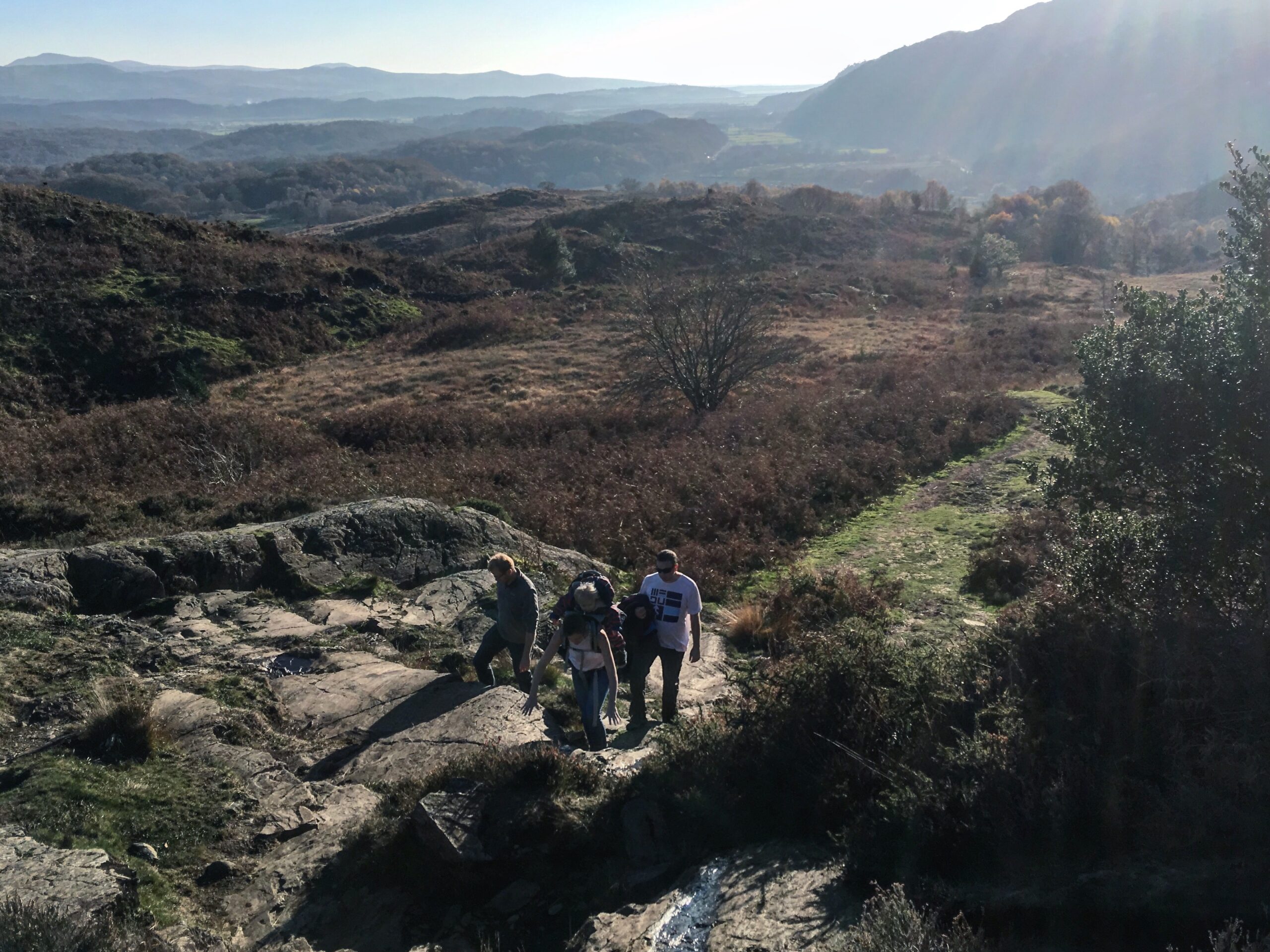
High above Beddgelert
Beddgelert is one of Snowdonia’s loveliest villages and offers a great variety of walks for all abilities. Whether it’s a gentle stroll along the banks of Afon Glaslyn to see ‘Gelert’s Grave’, a longer to walk to the nearby lakes or a more challenging ascent of one of the nearby peaks, you will be surrounded by gorgeous views and diverse scenery and wildlife.
Find out more at: https://www.nationaltrust.org.uk/craflwyn-and-beddgelert/lists/walks-in-craflwyn-and-beddgelert
Wales Coastal Path
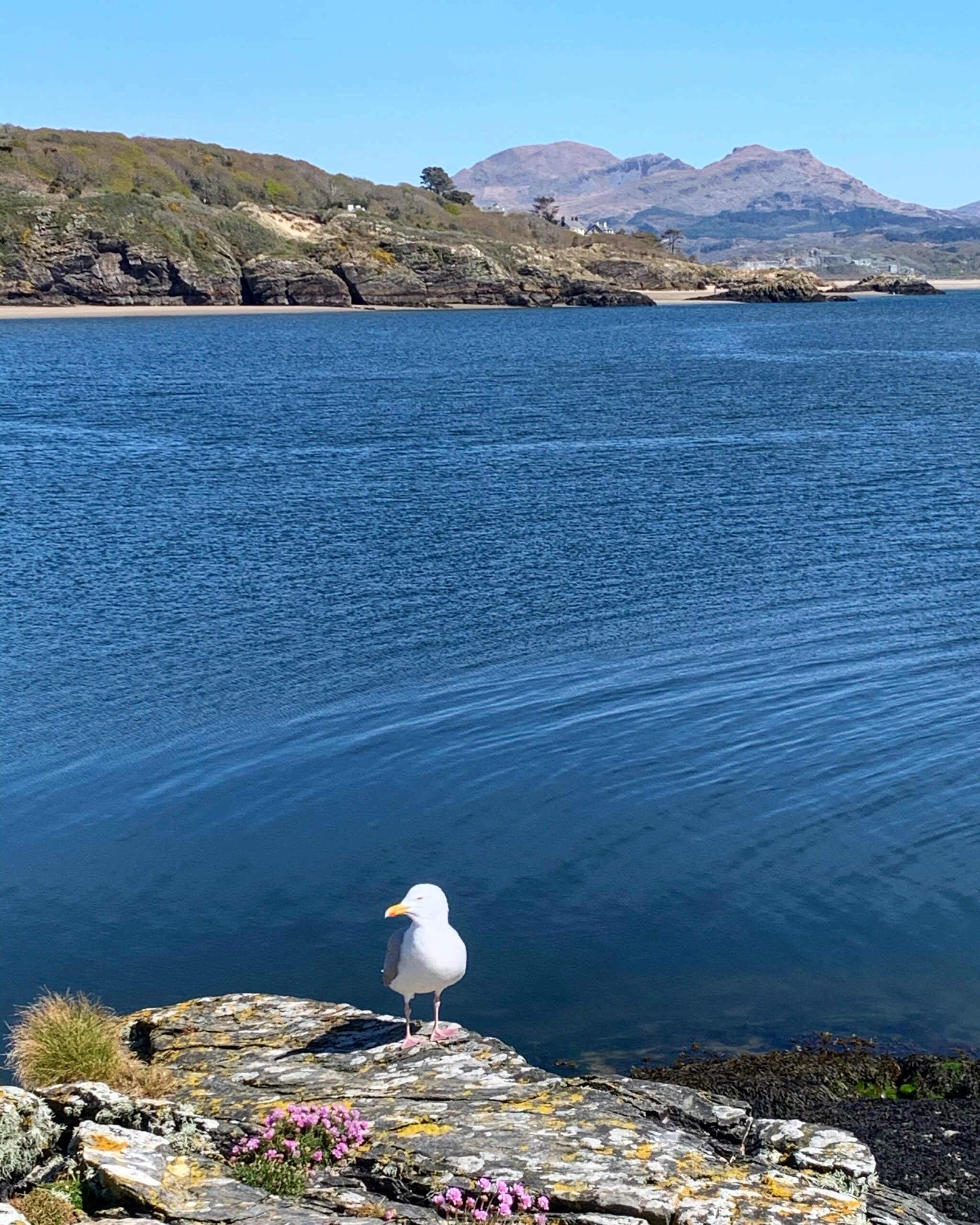
Overlooking the estuary at Black Rock Sands
The Wales Coastal Path is a designated long distance trail which follows, or runs close to, the coastline of Wales for 870miles. The path is well signed and mostly well maintained and offers endless options for gorgeous walks along the coast throughout north Wales. Whether it’s the Llyn Peninsular, Anglesey or closer to Bryn Llydan around Borrh y Gest or Criccieth, there are some gorgeous stretches of path with beaches, cliffs and an abundance of wildlife.
Find out more at: www.walescoastpath.gov.uk
